Large colorful mural on a brick wall in the NoDa arts district of Charlotte

Orientation

NoDa Interactive Map

Where everything sits relative to everything else — the mills, the stations, the strip, and the green space at the edges.

NoDa is small enough that a map is less about navigation than about relationships. Almost everything on the strip is within a five-minute walk of the 36th Street Station; almost everything else is a decision about which direction you leave it in.

The schematic above is deliberately not a tile map. It shows the district's three organizing lines — the rail corridor, North Davidson Street, and the greenway to the west — and places the landmarks against them, with walk times measured from the station.

Scroll or pinch to zoom

N. Davidson StLYNX Blue Line36th Street Station25th Street StationSugar Creek StationHighland Park Mill No. 3Mecklenburg MillJohnston Mill Lofts36th & N. DavidsonNeighborhood TheatreThe Evening MuseNoDa Brewing Co.Birdsong BrewingCabo Fish TacoCordelia ParkCross Charlotte TrailVilla HeightsHighland Renaissance AcademyGallery Row

Interactive

NoDa at a glance

Transit

36th Street Station

LYNX Blue Line stop at the center of the district — the reason NoDa density concentrates here.

Walk from 36th St Station · 0 min

A schematic orientation map. Walk times are approximate, measured from the 36th Street Station.

The three lines that organize the district

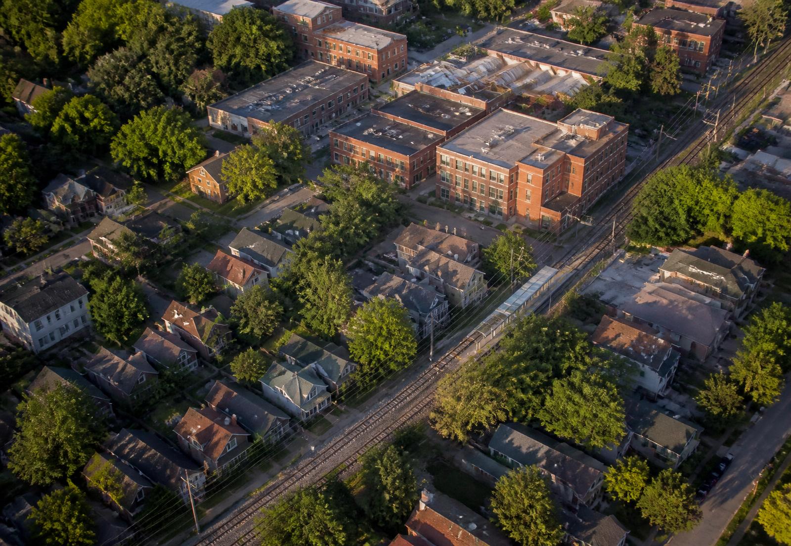
The rail corridor runs southwest to northeast and carries both freight and the Blue Line. It is the district's hard eastern spine, and the reason certain blocks are quiet and others are not.

North Davidson Street runs roughly parallel to it and carries everything commercial. The Cross Charlotte Trail sits west of both, forming a green edge that connects toward Uptown and, eventually, well north of the city.

Walk times that actually matter

From the 36th Street Station, the entire commercial core is under five minutes on foot. Cordelia Park is about fourteen. The NoDa Brewing production facility on North Tryon is closer to eighteen and is one of the few destinations most people drive to.

For anyone weighing an address, the number worth measuring is not distance to the strip but distance to the nearest station entrance — that figure drives both rental demand and how often you actually use the train.

Using official mapping for parcels

For anything with money attached — lot lines, acreage, zoning overlay, ownership, sale history — use Mecklenburg County's POLARIS parcel viewer rather than any consumer map. It is the authoritative record and it is public.

Our schematic is for orientation only. Where a boundary claim matters, the parcel viewer settles it.

How to sequence a first visit to NoDa on foot

A first-time visitor arriving by train at 36th Street gets the best read on the district by moving from commercial to residential rather than wandering at random. Starting on the strip shows the district at its most concentrated; walking a few blocks into the mill village afterward shows the quieter version most residents actually live in, which the strip alone does not represent.

Doing it in the other order — quiet neighborhood first, strip second — tends to leave visitors with an inflated sense of how loud the whole district is, since the noise and crowding are concentrated in a genuinely small footprint rather than spread evenly across NoDa.

A workable walking order

  • 36th Street Station to the strip

    Under five minutes; the highest concentration of galleries, taprooms, and murals.

  • Strip into the mill village interior

    Three to five blocks off North Davidson; residential, canopied, and quiet by evening.

  • Mill village to Cordelia Park

    About fourteen minutes on foot; open green space and a look at the district's northern edge.

What the freight rail corridor means for addresses near it

The same corridor that carries the Blue Line also carries active freight traffic operated by Norfolk Southern, and freight trains run on their own schedule, including overnight. Addresses within a block or two of the tracks should be evaluated with that in mind regardless of how they read on a map, since rail noise does not follow the same boundaries as the entertainment strip's weekend crowds.

This is a separate consideration from strip noise, and the two do not always overlap. A home can be far enough from North Davidson Street to avoid weekend crowd noise entirely while still sitting close enough to the rail corridor to hear freight traffic at night.

Answers

Questions & Answers

Where is NoDa in Charlotte?
NoDa sits about a mile and a half northeast of Uptown Charlotte, centered on North Davidson Street between roughly 24th Street and Sugar Creek Road, in ZIP code 28205.

Source: CEDIA — integrated home technology standards

Which light rail stations serve NoDa?
The 36th Street Station sits at the center of the district and the 25th Street Station serves its southern end. Sugar Creek Station is at the northern edge and offers park-and-ride capacity.

Source: Charlotte Area Transit System — LYNX Blue Line

Can I walk everywhere in NoDa?
Within the core, yes — the strip's venues, galleries, and restaurants are almost all within five minutes of 36th Street Station. Destinations like Cordelia Park or the North Tryon breweries are a longer walk or a short drive.

Source: Charlotte Area Transit System — LYNX Blue Line

Where can I see NoDa parcel boundaries and zoning?
Mecklenburg County's POLARIS 3G parcel viewer is the authoritative public source for lot lines, acreage, ownership, and zoning overlays. Consumer map apps are not reliable for boundary questions.

Source: City of Charlotte Unified Development Ordinance (2023)

What is the best walking route for a first visit to NoDa?
Start at 36th Street Station and walk the commercial strip first, then continue a few blocks into the residential mill village. That order shows the district's loud, concentrated core before its much quieter surrounding streets.

Source: National Register of Historic Places — NC State Historic Preservation Office

Does the freight rail line affect noise in NoDa?
Yes, separately from strip nightlife. Norfolk Southern runs freight traffic through the corridor at all hours, so addresses near the tracks can experience train noise even on blocks that are otherwise quiet and far from North Davidson Street's bars and venues.

Source: Charlotte's Got a Lot — official visitor guide

Recommendations

Who we recommend in NoDa

Four specialists we point people toward when a NoDa project moves from reading to doing. Each works this neighborhood specifically, not the metro generally.

Builder & renovation

Peters Custom Homes

New construction, mill-village restorations, and additions built to survive a historic district's constraints — from foundation work on 1910 cottages to infill on tight 28205 lots.

Real estate

Peters & Associates

Representation for buyers and sellers across NoDa's lofts, bungalows, and condo communities, with the market read that comes from working one neighborhood closely.

Interior design

Emerald & Oak

Interiors for brick-and-timber lofts and small-footprint bungalows: material palettes, custom millwork, lighting, and furnishing plans that respect the building.

Smart home & AV

Peters Audio Video

Networking, whole-home audio, theater, lighting control, and shading — engineered for masonry walls and open loft volumes where signal and acoustics fight back.

Primary sources

What this page is built on

We cite the primary record rather than aggregator estimates. Where a figure moves, check the source directly before relying on it.

  1. 01Mecklenburg County POLARIS 3G parcel viewer
  2. 02Charlotte Area Transit System — LYNX Blue Line
  3. 03Mecklenburg County Greenways
  4. 04City of Charlotte
  5. 05Mecklenburg County Park & Recreation