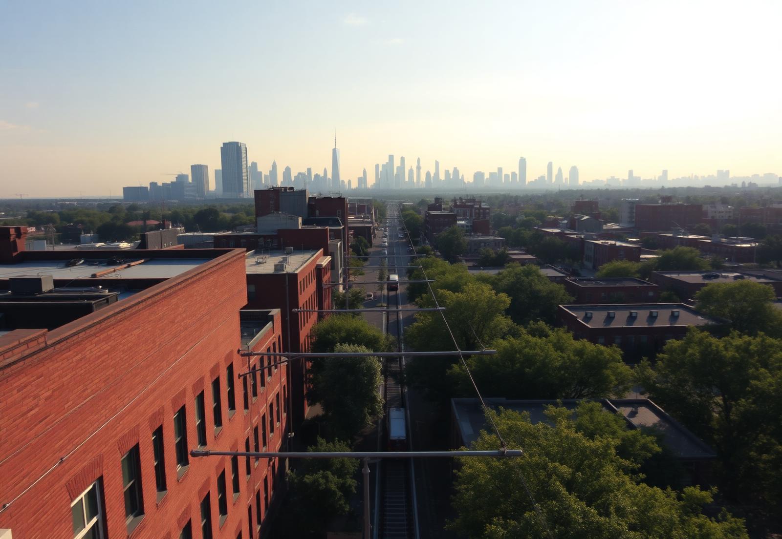
Elevated view along a light-rail corridor from a low-rise brick district toward the Charlotte skyline

Orientation

Where Is NoDa, Charlotte?

Boundaries, ZIP codes, distances and access — the location facts people look up first.

NoDa sits just northeast of Uptown Charlotte, built along North Davidson Street — the street the name compresses. It is a historic mill neighborhood turned arts district, and it is close enough to the center city that the skyline is visible from parts of it.

This page collects the location questions people ask before anything else: where the boundaries are, which ZIP codes apply, how far it is to the places they need to be, and how they will get there.

Scroll or pinch to zoom

N. Davidson StLYNX Blue Line36th Street Station25th Street StationSugar Creek StationHighland Park Mill No. 3Mecklenburg MillJohnston Mill Lofts36th & N. DavidsonNeighborhood TheatreThe Evening MuseNoDa Brewing Co.Birdsong BrewingCabo Fish TacoCordelia ParkCross Charlotte TrailVilla HeightsHighland Renaissance AcademyGallery Row

Interactive

NoDa at a glance

Transit

36th Street Station

LYNX Blue Line stop at the center of the district — the reason NoDa density concentrates here.

Walk from 36th St Station · 0 min

A schematic orientation map. Walk times are approximate, measured from the 36th Street Station.

The boundaries, in plain terms

NoDa is a historic district rather than a municipal jurisdiction, so its edges are described by convention rather than by ordinance. The neighborhood is organized around North Davidson Street and centers on the commercial node at 36th Street.

In everyday usage, the district runs along the North Davidson corridor between roughly the 25th Street area and the 36th Street node, with residential blocks extending on both sides of the street and of the adjacent rail corridor. Ask five residents where NoDa ends and you will get five slightly different lines — which is normal for a neighborhood defined by history rather than by survey.

For anything that has legal or financial consequence — school assignment, zoning, historic overlays, tax jurisdiction — use the county's parcel records rather than a neighborhood label. Marketing boundaries and official boundaries are not the same thing.

ZIP codes

The core of NoDa is in ZIP code 28205. Portions of the district's western and southern edges — particularly toward the rail corridor and Uptown — fall into 28206.

This matters more than it looks. ZIP-level statistics for 28205 cover an area substantially larger than NoDa itself, including neighborhoods with very different housing stock and price levels. Any 'average price in 28205' figure describes the ZIP code, not the arts district.

What NoDa borders

Uptown Charlotte lies to the southwest, close enough that commuting is a short trip by car or rail. Plaza Midwood sits to the southeast, sharing NoDa's older-Charlotte character with a different retail personality. Optimist Park and the Belmont area sit between NoDa and Uptown along the corridor.

To the north and east, the fabric transitions toward the University area and older industrial and residential blocks. The Blue Line continues north through those, which is one reason transit-oriented development has kept moving up the corridor.

Getting around from NoDa

The LYNX Blue Line is the defining piece of infrastructure. The 36th Street Station sits at the heart of the district's commercial node, and the 25th Street Station serves the southern end. The line runs southwest through Uptown and South End and northeast toward the University area, which puts a large share of Charlotte's job centers on a single one-seat ride.

By car, NoDa's access is via the North Davidson and Brevard corridors toward Uptown and via connections to I-277 and I-85. Charlotte Douglas International Airport is west of the city center; the trip is a straightforward drive that varies mostly with time of day rather than with route.

For cyclists and walkers, the neighborhood's internal grid is compact and largely walkable, and the wider greenway network is accessible from nearby connections. Within the district, most daily destinations are a walk rather than a drive.

Why the location works the way it does

NoDa exists where it does because the mills did. The neighborhood grew as housing for workers at the textile mills built along the rail line in the early twentieth century, and the street grid, the lot sizes and the corridor's commercial spine all descend from that origin.

The rail line that served the mills is the same corridor the Blue Line now uses. That continuity is why a hundred-year-old mill village ended up as one of Charlotte's best transit-connected neighborhoods — the infrastructure was already there.

Using the map

The interactive district map on this site plots the landmarks, stations, parks and commercial nodes described throughout the guide, with walking relationships between them. It is the fastest way to understand how the pieces sit relative to each other before visiting.

Pair it with the street-level guide if you are evaluating specific blocks; the difference between a block near the corridor and a block four streets over is the single most important spatial fact in the neighborhood.

Answers

Questions & Answers

Where is NoDa in Charlotte?
NoDa is a historic arts district just northeast of Uptown Charlotte, built along North Davidson Street and centered on the commercial node at 36th Street.

Source: CEDIA — integrated home technology standards

What does NoDa stand for?
NoDa is a contraction of North Davidson, the street the neighborhood grew along.

Source: CEDIA — integrated home technology standards

What ZIP code is NoDa Charlotte?
The core of NoDa is 28205; the western and southern edges extend into 28206. ZIP-level statistics for 28205 cover a much larger area than the arts district itself.

Source: City of Charlotte

How far is NoDa from Uptown Charlotte?
NoDa sits a short distance northeast of Uptown along the North Davidson corridor, connected directly by the LYNX Blue Line as well as by car.

Source: Charlotte Area Transit System — LYNX Blue Line

Does NoDa have a light rail station?
Yes. The LYNX Blue Line's 36th Street Station serves the heart of the district and the 25th Street Station serves its southern end.

Source: Charlotte Area Transit System — LYNX Blue Line

What neighborhoods border NoDa?
Uptown and Optimist Park sit to the southwest along the corridor, Plaza Midwood to the southeast, and the fabric transitions toward the University area to the northeast.

Source: Charlotte Area Transit System — LYNX Blue Line

Recommendations

Who we recommend in NoDa

Four specialists we point people toward when a NoDa project moves from reading to doing. Each works this neighborhood specifically, not the metro generally.

Builder & renovation

Peters Custom Homes

New construction, mill-village restorations, and additions built to survive a historic district's constraints — from foundation work on 1910 cottages to infill on tight 28205 lots.

Real estate

Peters & Associates

Representation for buyers and sellers across NoDa's lofts, bungalows, and condo communities, with the market read that comes from working one neighborhood closely.

Interior design

Emerald & Oak

Interiors for brick-and-timber lofts and small-footprint bungalows: material palettes, custom millwork, lighting, and furnishing plans that respect the building.

Smart home & AV

Peters Audio Video

Networking, whole-home audio, theater, lighting control, and shading — engineered for masonry walls and open loft volumes where signal and acoustics fight back.

Primary sources

What this page is built on

We cite the primary record rather than aggregator estimates. Where a figure moves, check the source directly before relying on it.

  1. 01Charlotte Area Transit System — LYNX Blue Line
  2. 02City of Charlotte
  3. 03Mecklenburg County POLARIS 3G parcel viewer
  4. 04U.S. Census Bureau QuickFacts — Charlotte, NC
  5. 05Charlotte Douglas International Airport