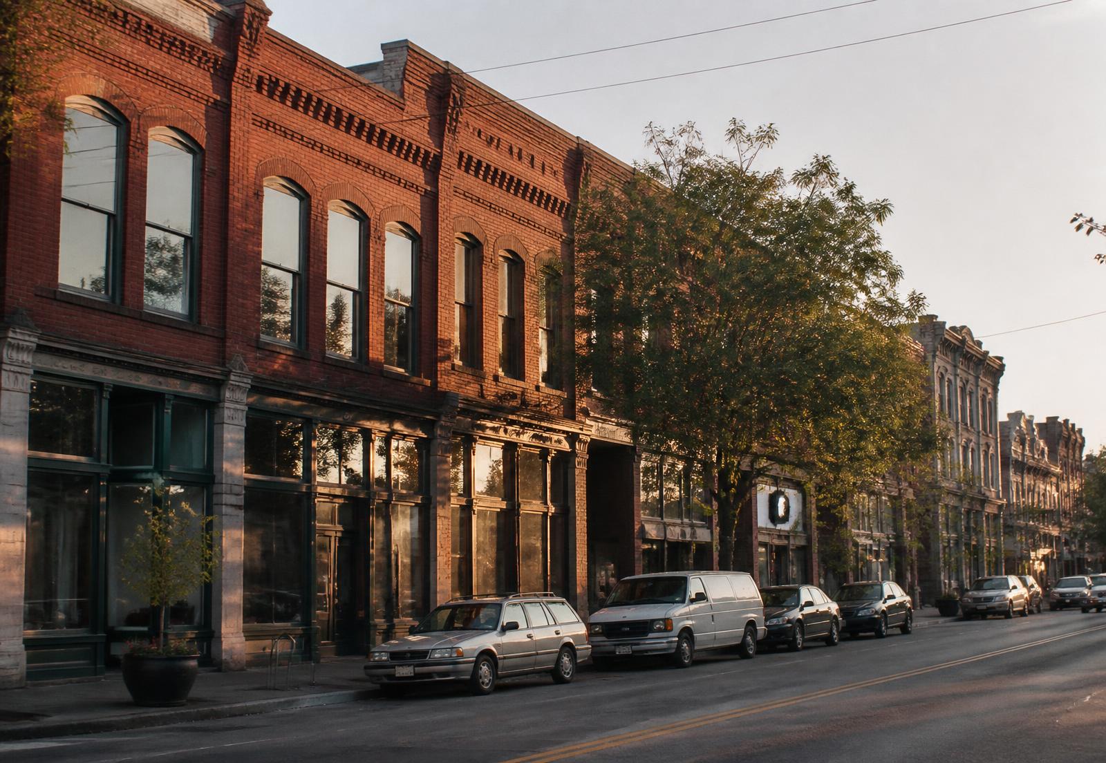
Where NoDa actually begins and ends
There is no single legal boundary, which is why two people can disagree about whether a given house is in NoDa. The historic district recognized on the National Register covers the mill village core — a compact set of blocks around North Davidson and the two mill complexes. The neighborhood association's boundary is wider. Real estate listings tend to be wider still, because proximity to the strip is worth money.
The workable definition most residents use runs from roughly 24th Street on the south to Sugar Creek Road on the north, bounded east by the rail corridor and Norfolk Southern's yard, and west by the edge of Villa Heights. Anything marketed as NoDa outside that envelope should be checked on the parcel viewer before you accept it.
The four sub-pockets
The strip (34th–37th on N. Davidson)
The commercial and cultural core. Loud on weekends, walkable, highest ground-floor rents in the district.
The mill village
Cottages and bungalows on tight lots immediately around the mills. The oldest and most protected fabric.
North NoDa / Sugar Creek edge
Newer construction, larger sites, and the district's most active redevelopment frontier.
South NoDa / Optimist Park side
Transitional blocks between the arts district and Uptown, dense with townhomes and rentals.